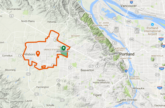
AmberGlen is a neighborhood on the east side of Hillsboro, a town of around 100,000 people west of Portland, Oregon.
AmberGlen has a mixture of residential and commercial areas as well as some educational and healthcare institutions.
The neighborhood is close to US-26 and the Blue MAX light rail line, two convenient connections to the Portland area.
AmberGlen has several options for outdoor recreation: a number of parks, a walking/running/biking trail, and a few playgrounds. The neighborhood is both runner and biker-friendly with sidewalks usually separated from the street and bike lanes on many roads.
In 2010, the city of Hillsboro adopted the AmberGlen Community Plan, which outlined a vision of AmberGlen as a denser, more urban, pedestrian-friendly neighborhood.
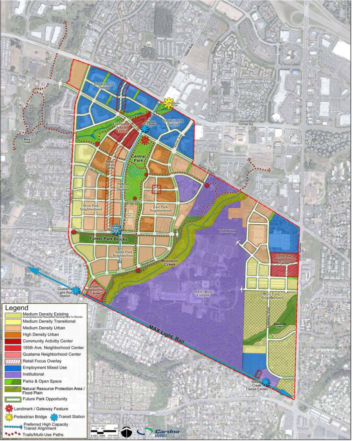
In the years since, some progress has been made towards the plan’s vision: the AmberGlen Central Park is now officially public and new buildings have been popping up. However, the plans for a denser west AmberGlen with restaurants, shops, and public transit are yet to be realized.
